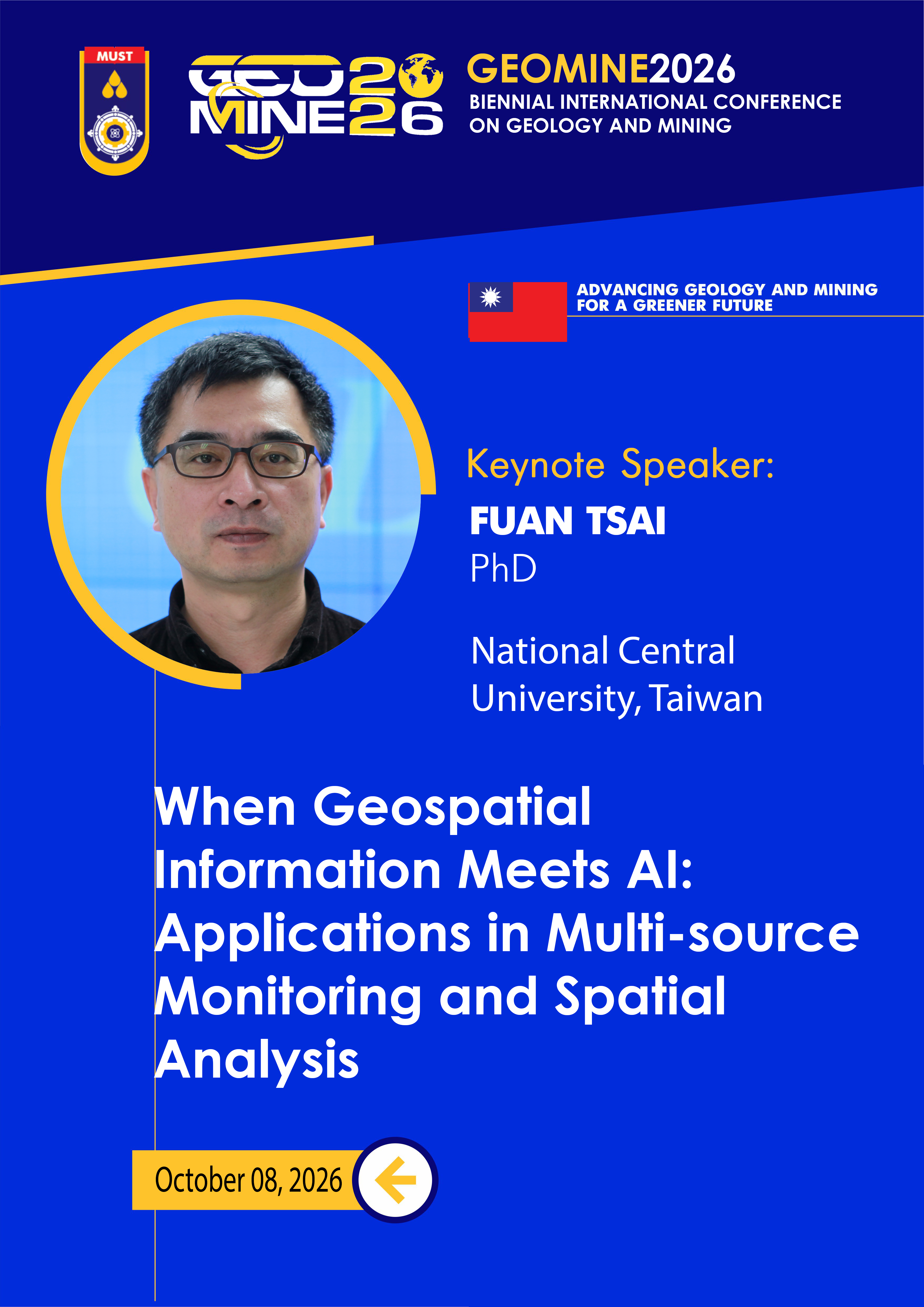
Professor Fuan Tsai
National Central University, Taiwan
About
Fuan Tsai received his M.S. and Ph.D. degrees in Civil and Environmental Engineering from Cornell University, Ithaca NY, USA in 1996 and 2000, respectively. He was with Los Alamos National Laboratory, Los Alamos NM, USA from 1996 to 1998 and from 2000 to 2002. Dr. Tsai joined the faculty of the Center for Space and Remote Sensing Research (CSRSR) and the Department of Civil Engineering, National Central University, Taiwan in 2002, where he is currently a professor. Prof. Tsai was the Director of CSRSR from 2018 to 2021. He is also in charge of the Resource Satellite Receiving Station of CSRSR from 2016 to 2024. Prof. Tsai was elected as the President of the Chinese (Taipei) Society of Photogrammetry and Remote Sensing (CSPRS) in 2024. Prof. Tsai is also active and well recognized in international communities. He served as the Chair of Working Group VI/5 in the Internal Society for Photogrammetry and Remote Sensing (ISPRS) from 2012 to 2016. He is also a Deputy General Secretary of the Asian Association on Remote Sensing (AARS) since 2019. Prof. Tsai teaches several undergraduate and graduate courses. His research interests include remote sensing, image analysis, digital city modeling, 3D photogrammetry and computer vision, multi-dimensional spatial analysis and geocomputing. Dr. Tsai has authored and co-authored more than 300 journal and conference papers. He has received several awards from domestic and international societies and institutes. He and his students also won dozens of best paper awards and competitions from international journals and conferences.
When Geospatial Information Meets AI: Applications in Multi-source Monitoring and Spatial Analysis
When: October 8, 2026 · 11:50
Conventionally, geospatial related applications often require diversified heterogeneous data to support or carry out advanced operations. The integration, process, analysis and interpretation of these data commonly employ sophisticated algorithms and are expensive and time consuming. In recent years, artificial intelligence (AI), especially machine learning and deep learning, haven been evolving dramatically and incorporated into assorted, especially images and multi-media related, processing, analysis and applications. The remarkable ability of “training, validation, then test/application” with machine/deep learning models might be an ideal solution, or at least an addition, to improve the performance of geospatial applications. However, most existing machine learning and deep learning models are not specifically designed for dealing with geospatial data and may not be suitable or adequate for the processing and analysis of multi-dimensional spatial data and information with divergent characteristics and attributes. This presentation explores the practicability of applying machine learning and deep learning models on assorted geospatial applications. Diversified, multi-source geospatial data are processed and analyzed in the presented cases, including close-range imagery, Unmanned Aerial Vehicle (UAV) data, high-resolution and very-high-resolution satellite images and Synthetic Aperture Radar (SAR) data. In addition to fundamental image analysis tasks, such as target detection, feature extraction, semantic segmentation etc., a few cases of employing AI-driven algorithms for sophisticated disaster and environmental monitoring and spatial analyses applications, such as landslide detection and monitoring, land reclamation assessment and monitoring of mining sites, land and infrastructure deformation monitoring etc., are also demonstrated in the presentation. Finally, the outlook of generative AI approaches, such as Neural Radiance Fields (NeRFs), Three-dimensional Gaussian Splatting (3DGS), and Segment Anything Model 3D (SAM 3D) for geospatial operations and applications are also briefly reviewed and discussed.